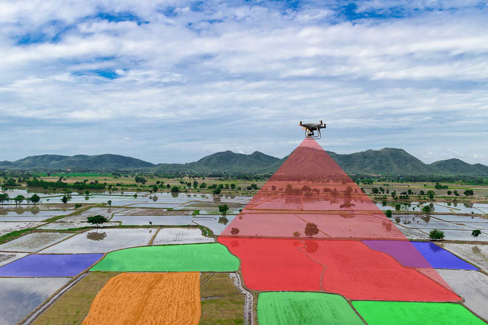
Mapping
3D Modeling
We’re a Texas-based company active in all US States and Canada
Property Imaging and Modeling
Aerial images, photo-mosaics, 3D models for properties from single buildings to largest ranches.

Geographic Information Services
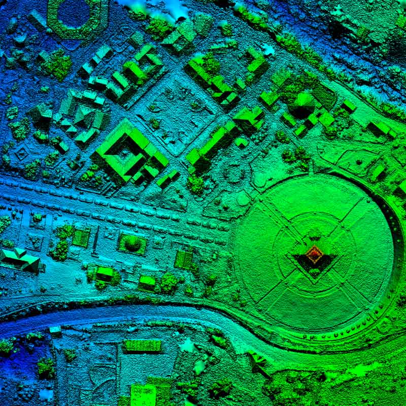
Mapping and modeling from data we or you have acquired, including digital elevation maps and Lidar.

Multipurpose Mapping
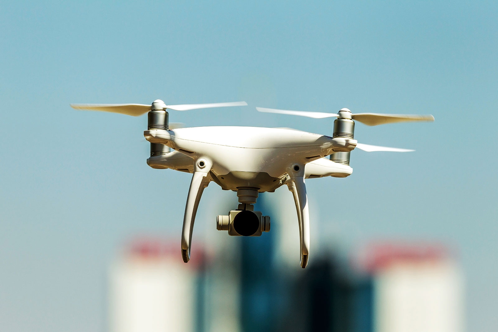
Our fleet of drones can acquire visual, infrared, thermal, magnetic, radiometric, and chemical data. We then use our GIS expertise to turn the data into useful maps and displays.
About Us
Precision Geospatial and Drone Services
Precision Geospatial and Drone Services provides full-service drone scanning in the field, to providing processed GIS and CAD ready deliverables. We currently offer mapping services and GIS services; however, we are in the process of expanding that to 3D modeling and plan to be able to offer inspection and emissions detection.
Featured Services
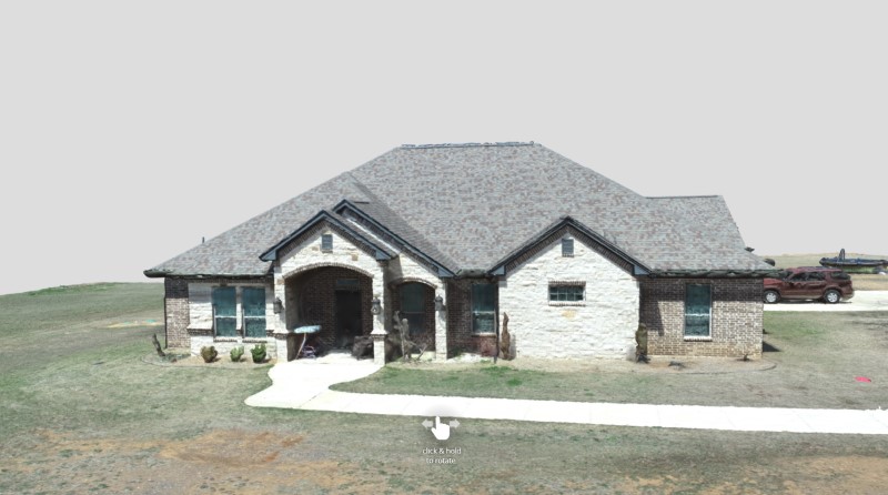
Drone 3D Modeling
- Commercial Real Estate
- High End Real Estate
- BIM (Building Information Modeling)
- Thermal 3D
GIS (Geographic Information Services)
- Modeling
- Digital Elevation Map (DEM) and Digital Terrain Model (DTM) analysis
- Mapping and analysis for Oil and Gas exploration
- LiDAR analysis
- Orthoimagery
- Data Conversion
- Vegetation Analysis
Drone Mapping for Different Industries
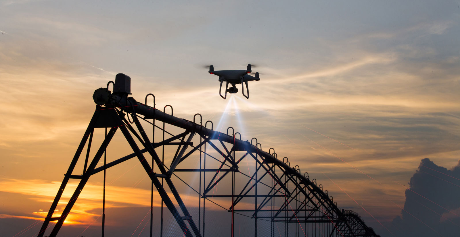
- Oil and Gas – Prospecting / Well Placement / Vein Mapping
- Agriculture – Mapping, Different Indices with NIR (Near Infrared) and TIR (Thermal Infrared)
- Minerals – Prospecting
- Construction – Site progress and compliance
- Quarry – Fill measurement
- Ranch/Farm – Aerial property imagery and maps
We’re about Quality
and Trust.

Quality
We use the most recent technologies to provide the most detailed and accurate deliverables. For our orthomosaics we provide centimeter accuracy with the best optimized ground sampling distances. If there are any issues with our deliverables, we make it right without additional charges.

Professional
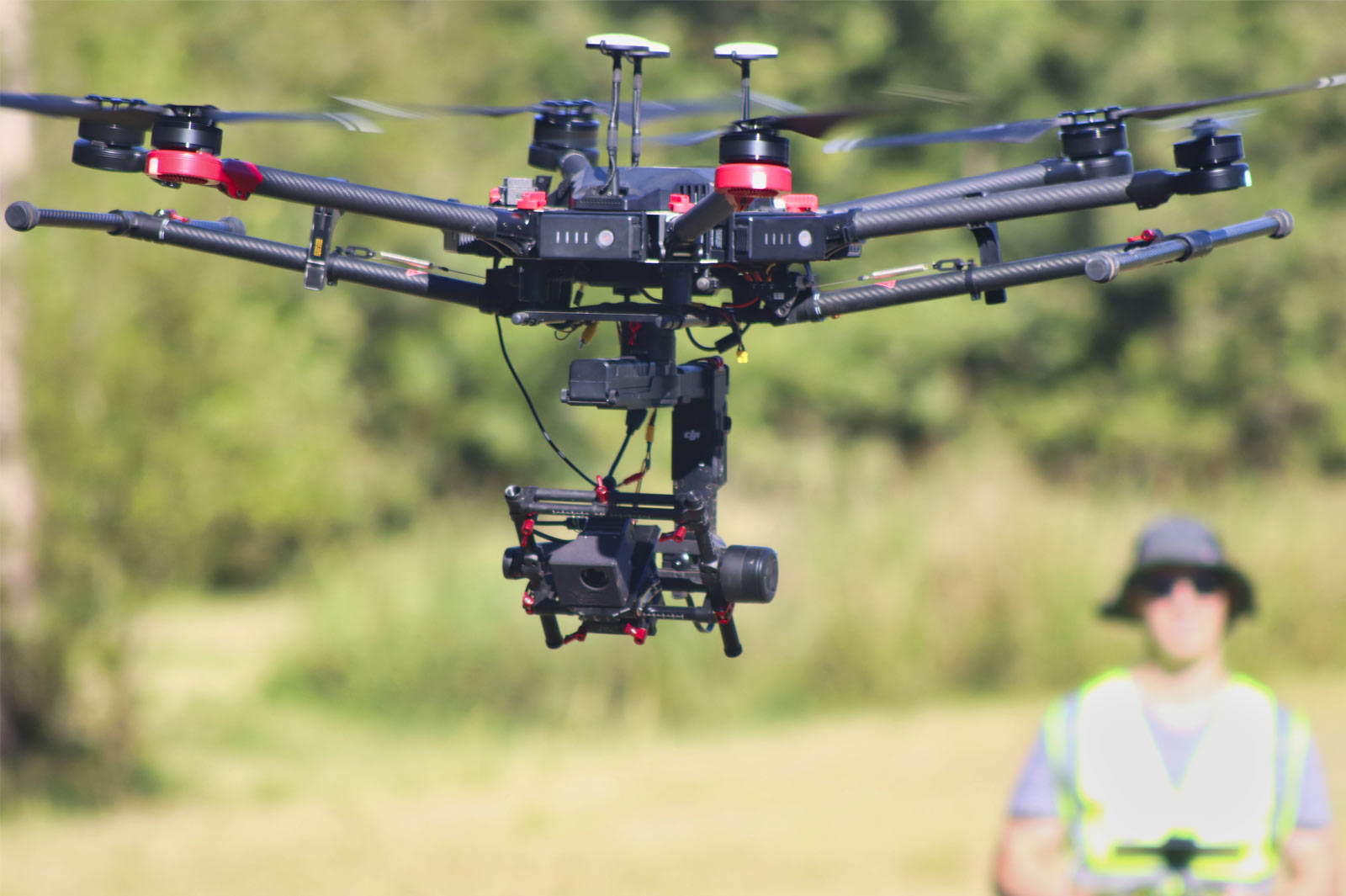
Our team consists of certified drone pilots with Part 107 licenses. We have been flying drones since 2017 and have considerable experience with the DJI line of drones and some Autel. We have been producing maps and other GIS deliverables since 2012, and have a dedicated GIS specialist that reviews our deliverables.

Trusted
We have been in the Oil and Gas industry for over 30 years. We specialize in small to medium sized businesses but have worked with large companies such as BP and Conoco Phillips in the past. We strive to continue to develop strong ties with businesses in other sectors such as real estate, construction, agriculture, and land development; just as we have with our Oil and Gas partners in the past.