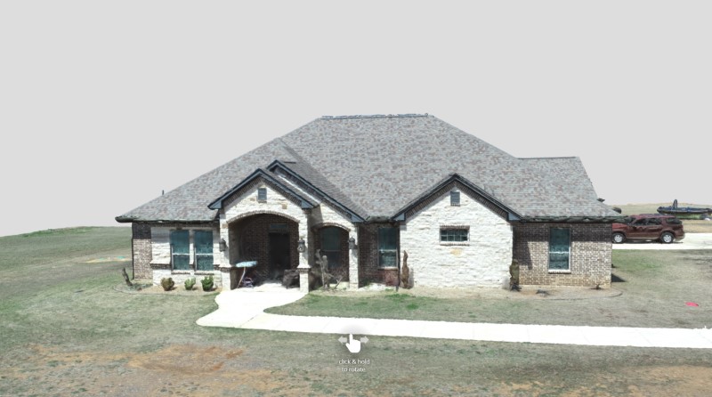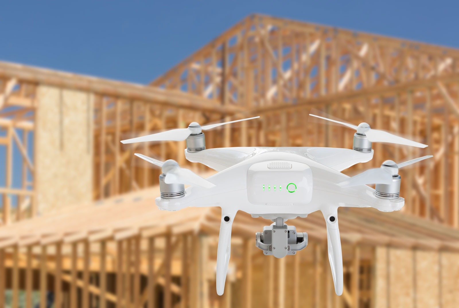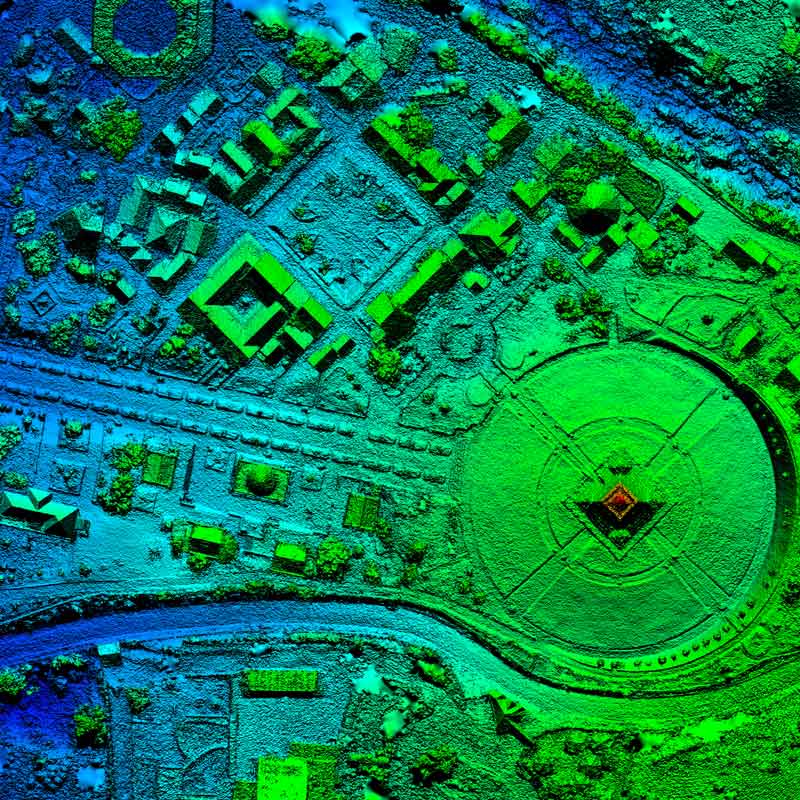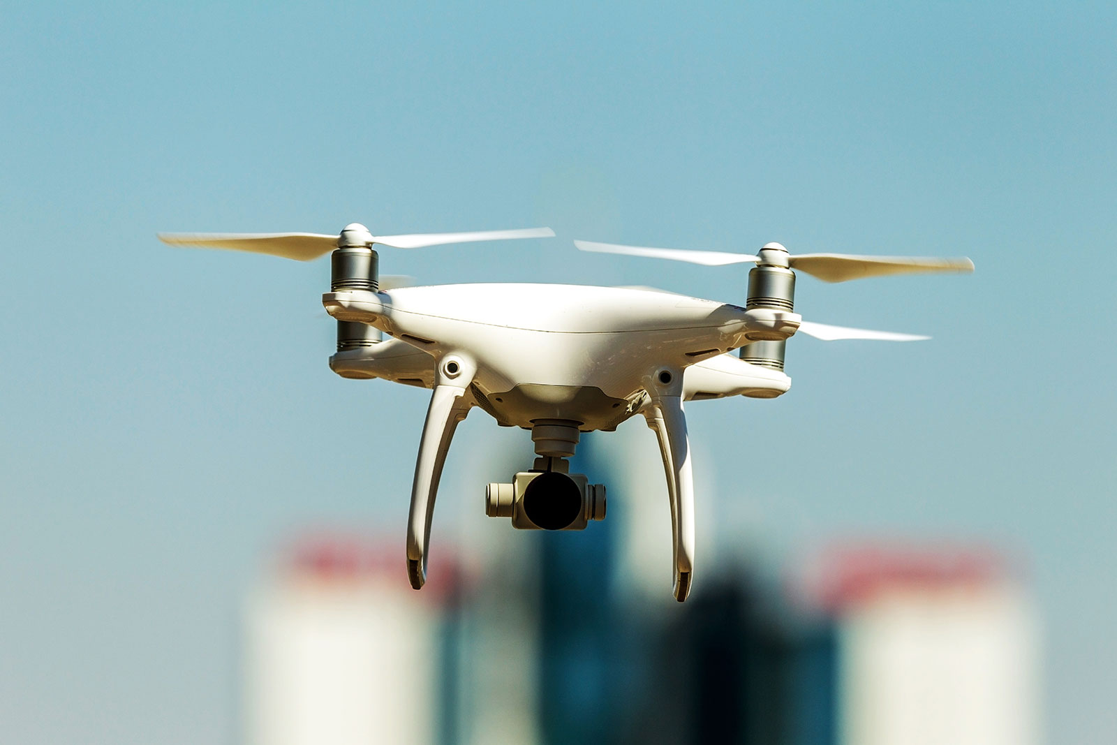
Precision Geospatial and Drone Services provides 3D models for your listings or areas of interest. More clients are using drone-generated 3D imagery to realistically view real estate and properties.
Many current photos of properties from air and ground use specific angles and tricks to emphasize features that prospective buyers would like, at times omitting details that can only be seen by in person visits. With 3D modeling, you will receive accurate representations of all angles of the property or point of interest, many times saving a prospective buyer from needing to conduct an in person visit.
Specific industries that can utilize our 3D Modeling
- Commercial Real Estate – We can provide realistic models of both structures and the entirety of the property. This product is often paired with Orthomosaics since both can be captured with similar equipment. Farmers and ranchers can also find uses for high-precision orthomosaics coupled with high-resolution 3d models of their properties.
- High-End Real Estate – We can provide realistic and accurate models of higher-end homes and condos. This can be a great addition to aerial and ground photography. Models can be easily added to Realtor/Developer sites with an integrated viewer, so there is no need for a potential customer to leave the site.
- BIM (Building Information Modeling) – We can collect high-quality interior and exterior building data that is then uploaded to BIM software to help create a very accurate 3D model. We are able to capture imagery frequently, and also provide close-ups of areas not easily reached in person.
- Thermal 3D Modeling – This service is currently in development. We aim to provide accurate radiometric data for structures that need inspection. Conducting thermal inspections can be time-consuming with the need to take many still thermograms at different angles to detect issues. Thermal 3D models allow a thermographer or customer to identify areas of interest and concern.


