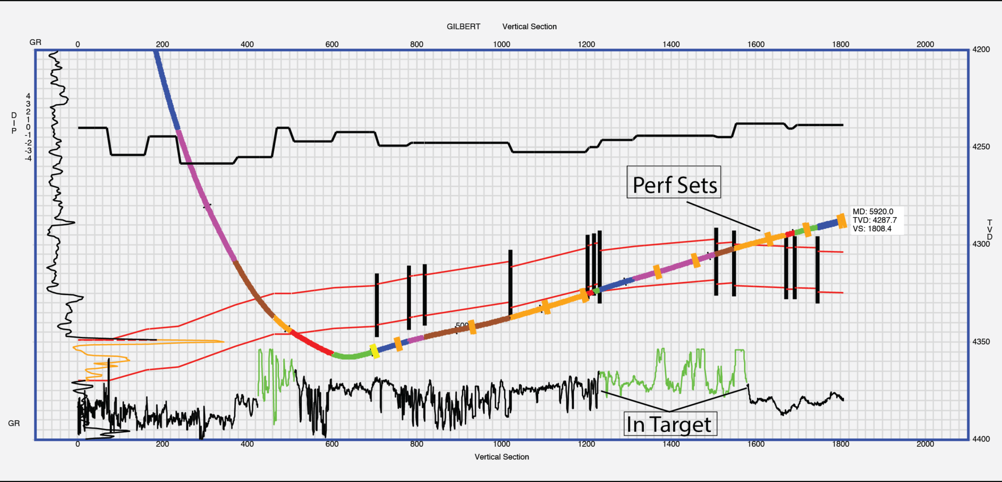
HNAV is a proprietary horizontal navigation software produced by Energy Frontiers Partners Services. Our primary service is providing quality geonavigation services for horizontally drilled wells. We do this by collecting measured depth gamma-ray and other logs, rate of penetration, mudlog, and survey data; then combining it so that a true vertical thickness log is created. The logs are transformed and are correlated with offset well data for accuracy. We generate a precise picture of what stratigraphy the well bore has drilled. The software is unique to the industry combining the tracking of bedded lithologies, as well as vertical discontinuities, such as faults and vertical lithologic boundaries.
