About Us
Precision Geospatial and Drone Services
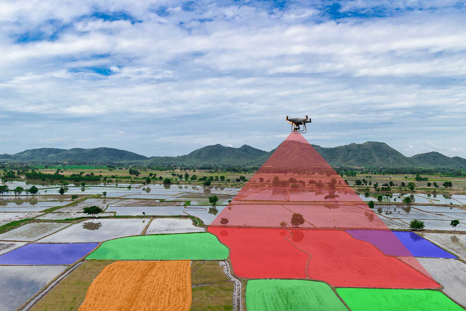
Precision Geospatial and Drone Services provides full-service drone scanning in the field, to providing processed GIS and CAD ready deliverables. We currently offer mapping services and GIS services; however, we are in the process of expanding that to 3D modeling and plan to be able to offer inspection and emissions detection.
Our company has evolved from working closely with Oil & Gas Partners in exploration and geo-steering to providing additional data points that can improve yield and drilling advantages. With aerial sensing technology advancing, we can provide detailed and accurate maps with different sensors such as thermal infrared, multispectral, and soon magnetics.

Company Core Values
Customer Solution Orientated
Precision works with our clients to provide custom solutions for their projects. We work with our business partners and clients to provide a seamless workflow to getting a project completed. From simple orthmosaics to more complex multi-sensored layered maps with significant post processing.
Innovation
We are continually testing new technologies to better our results and efficiency. Since 2017, we have tested multiple drones and sensors to provide an optimal workflow for our customers for specific results. An example of this includes multi drone flights concurrently to minimize temperature drift on thermal infrared, and shadow reduction on 3d models and Orthomosaics.
Some of the market segments Precision is looking forward to include magnetics, gas emission detection, and multi spectral.
Excellence
We employ the latest technologies to produce the most accurate deliverables on the market. We use PPK/RTK to provide centimeter accuracy for surveyed land and structure. We also employ ground control points as check points to further validate the accuracy of the finished product.
Teamwork
We are a tight-knit, reasonably small company with hardworking values. Every member of the company is vested in providing the best outcome for the customer and the company. We do not have shareholders or vested parties, so we focus on satisfied customers and happy team members.

