Services
GIS SERVICES
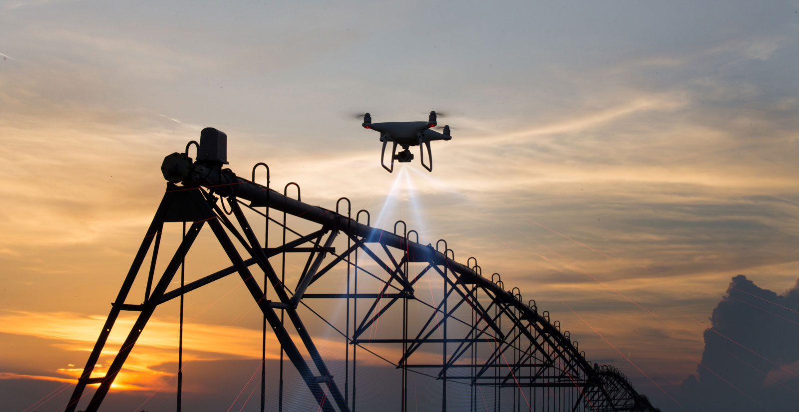
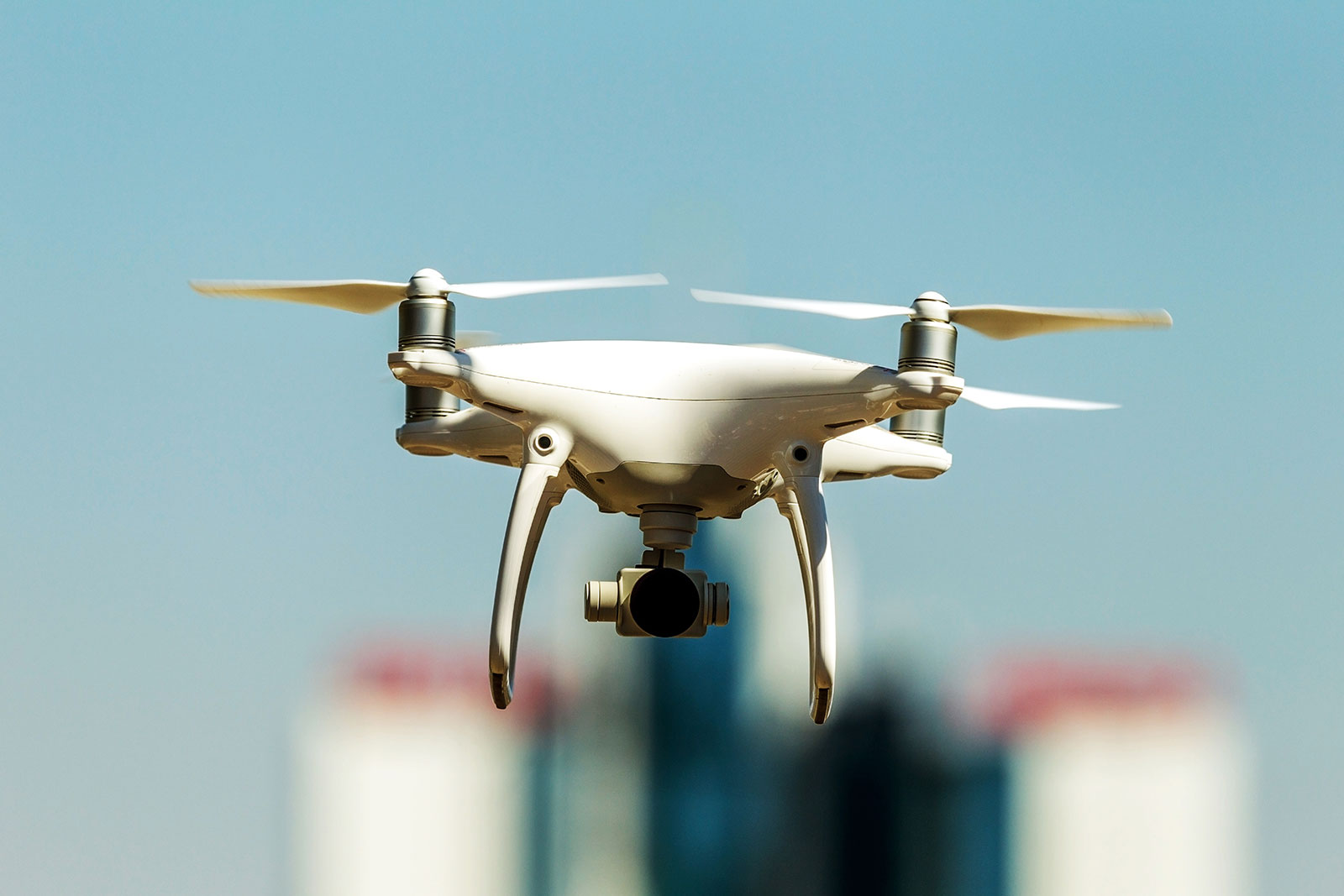
Precision Geospatial and Drone Services
Precision Geospatial and Drone Services provides full-service drone scanning in the field, to providing processed GIS and CAD ready deliverables. We currently offer mapping services and GIS services; however, we are in the process of expanding that to 3D modeling and plan to be able to offer inspection and emissions detection.

Multipurpose Mapping
Precision Geospatial and Drone Services provides drone scanning in the field to provide high resolution maps for specific industry needs. …
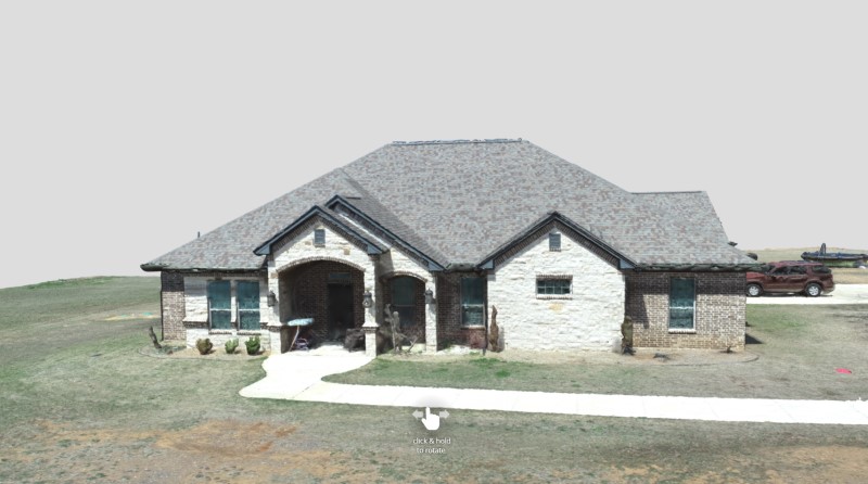

Drone 3D Modeling
Precision Geospatial and Drone Services provides 3D models for your listings or areas of interest. More clients are using drone-generated…
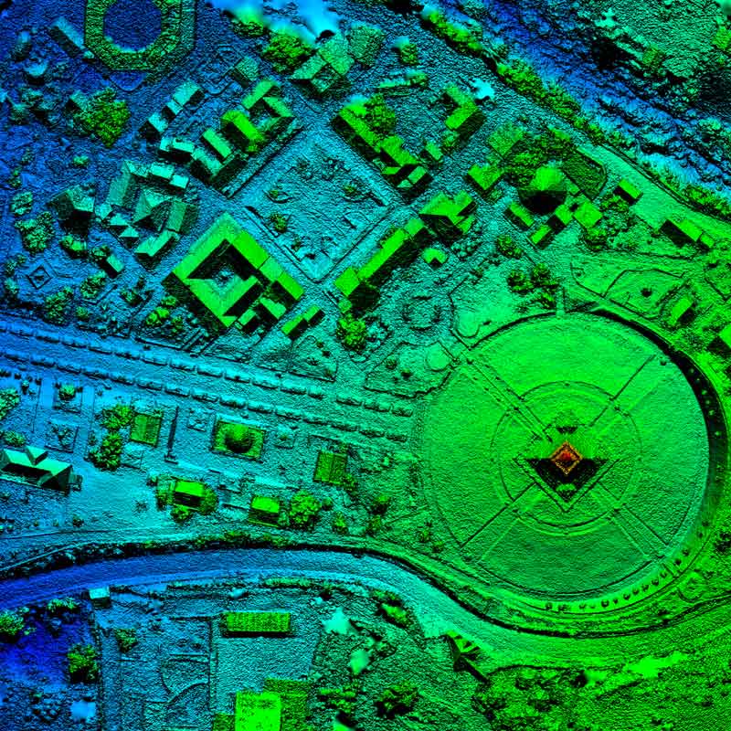

GIS (Geographic Information Services)
Precision Geospatial and Drone Services provides full-service drone scanning in the field, to providing processed GIS and CAD ready deliverables….