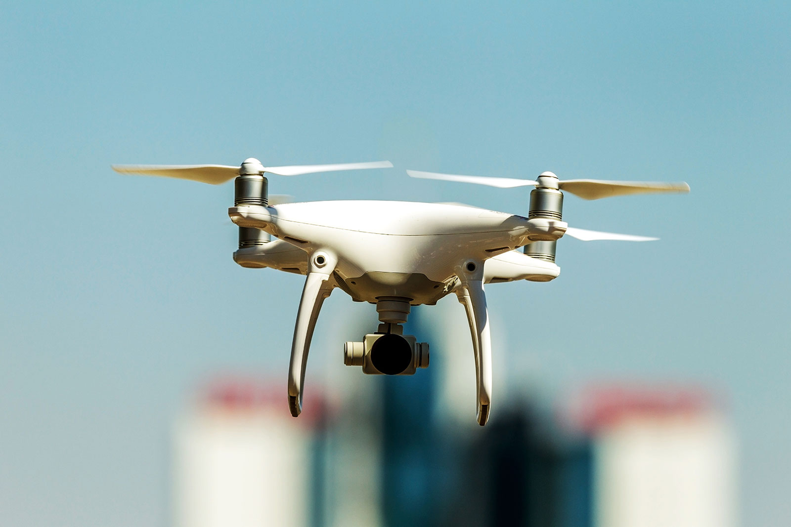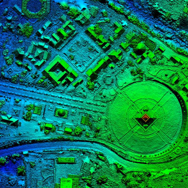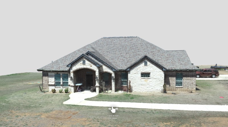
Precision Geospatial and Drone Services provides drone scanning in the field to provide high resolution maps for specific industry needs. Captured data is then processed and exported into the required formats for different end users.
- Oil and Gas – We currently offer drone services for prospecting of potential well sites. Also provide guidance on where exactly to place the wells with help from analysis completed by various mapping sensors such as thermal, magnetic, LiDAR, and RGB.
- Construction – We provide site progress mapping for areas under development. Orthomosaics have centimeter accuracy, and are deliverable in multiple formats such as dwg and dxf. 3D models are also available in obj and fbx format. Site imagery can be updated as often as specified; however, we usually provide weekly service.
- Quarry and Minerals – Similar to construction site progress service, Precision Geospatial can capture snapshots of a quarry and provide fill measurements using centimeter accuracy from the PPK technology we utilize. We can also assist with mineral prospecting using various sensors and analysis.
- Agriculture – We can provide multispectral maps with different indices such as NDVI, GNDVI, and OSAVI. These maps can determine crop health, help isolate crop disease, and also allow for precision application to areas most needed to be treated. We do not directly interpret the results, usually an agronomist or crop manager is required to provide an exact prescription.
- Ranch and Farms – Many land owners may request aerial property imagery for planning and placement of structures such as barns, coups, storage and vehicle buildings. Deer and game lease property owners also find value in blind placement and feeder location throughout the property.


