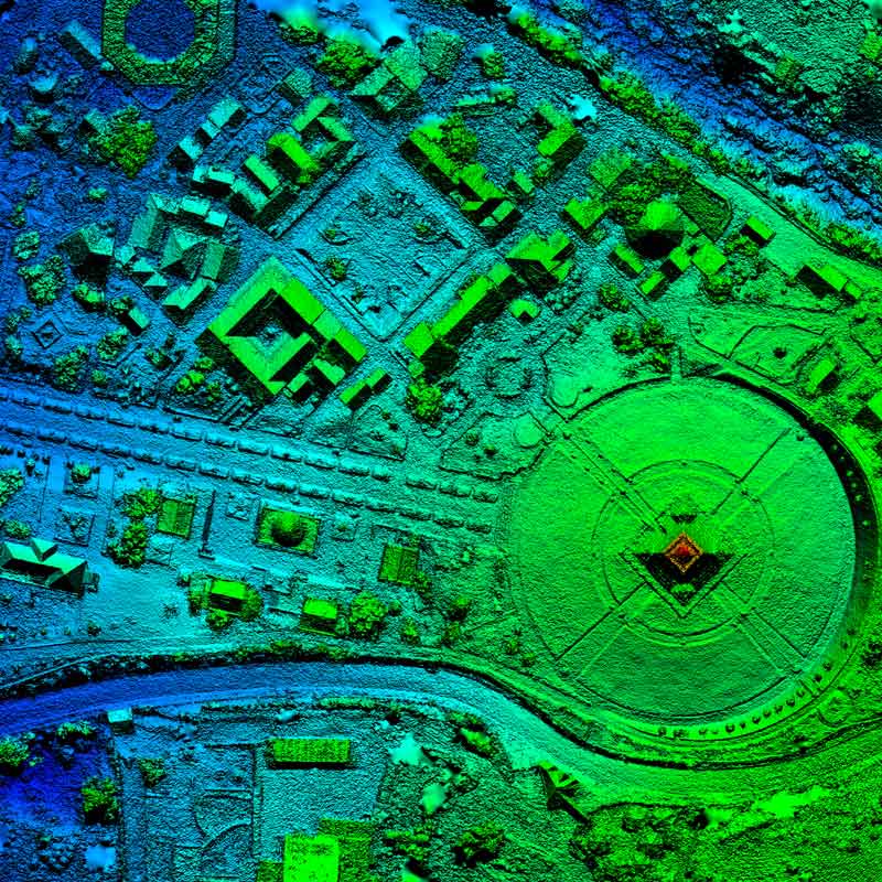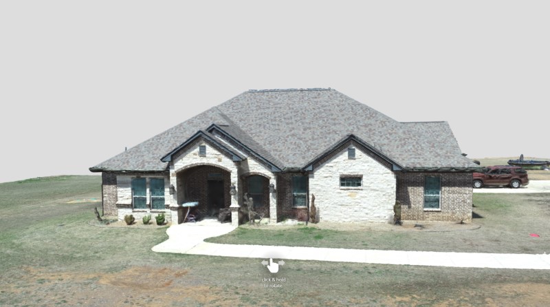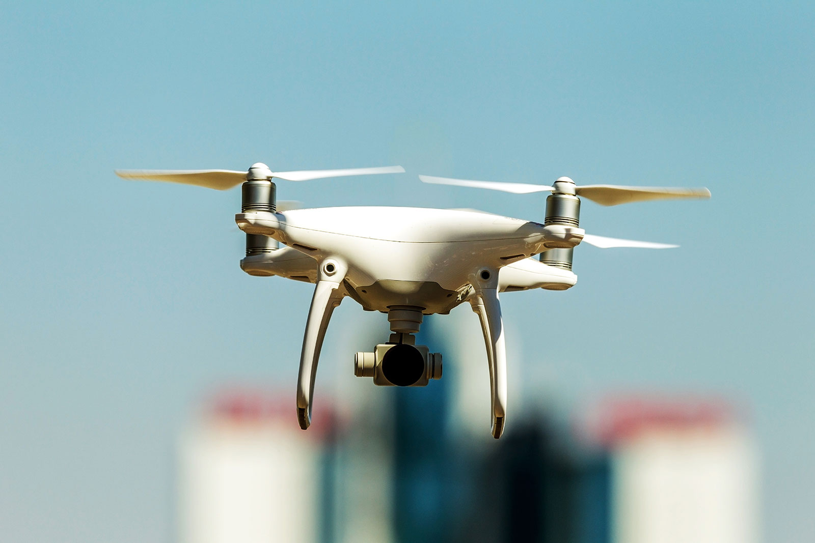
Precision Geospatial and Drone Services provides full-service drone scanning in the field, to providing processed GIS and CAD ready deliverables. We currently offer mapping services and GIS services; however, we are in the process of expanding that to 3D modeling and plan to be able to offer inspection and emissions detection.
Our company is new, we decided to name and create this company because our previous business, Energy Frontiers Services, did not reasonably represent what our product offering is now.
- Modeling
- Digital Elevation Map (DEM) and Digital Terrain Model (DTM) analysis
- Mapping and analysis for Oil and Gas exploration
- LiDAR analysis
- Orthoimagery
- Data Conversion
- Vegetation Analysis


